| Mineral Resource Report 099 |
 | Bedrock geologic map, coal-resource maps, and digital datasets of the Brandy Camp quadrangle, Elk, Jefferson, and Clearfield Counties, PennsylvaniabyDodge, C. H.2004 |
| Suggested Citation: | Dodge, C. H., 2004, Bedrock geologic map, coal-resource maps, and digital datasets of the Brandy Camp quadrangle, Elk, Jefferson, and Clearfield Counties, Pennsylvania: Pennsylvania Geological Survey, 4th ser., Mineral Resource Report 99, 15 p. [Available online.] |
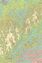
| Description: | This report on the Brandy Camp 7.5-minute quadrangle provides information on the areal bedrock geology (Upper Devonian to Pennsylvanian), structural geology, coal resources, and extent of past surface and underground coal mining. It was first published on CD–ROM and contains both graphic images (PDF files of a short text, a geologic map, and several coal-resource maps) and digital datasets (export files and shapefiles) that can be employed for spatial analysis and other geographic-information-system (GIS) applications. The maps are presented at two scales: as more detailed 1:24,000-scale maps and as page-size maps at 1:62,500 scale. |
| Download Publication: | Click Here (259 MB) |