| Open-File Geologic Atlas 16–01.0 |
 | Geology of part of the Chester Valley area, Chester, Delaware, Montgomery, and Philadelphia Counties, PennsylvaniabyKochanov, W. E.2016 |
| Suggested Citation: | Kochanov, W. E., 2016, Geology of part of the Chester Valley area, Chester, Delaware, Montgomery, and Philadelphia Counties, Pennsylvania: Pennsylvania Geological Survey, 4th ser., Open-File Report OFGA 16–01.0, 40 p., 1 map, scale 1:36,000. [Available online.] |
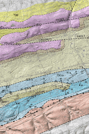
| Description: | This open-file geologic atlas is a geologic study of the area around the northeast half of the southwest-northeast-trending Chester Valley. The majority of the valley is underlain by Cambrian and Ordovician carbonate rocks representing a transition from continental-margin to deeper marine basin environments. The report includes detailed descriptions of the rocks based on his field observations and numerous photographs. Stratigraphic correlations, structural features, karst development, and resources and land planning are other topics discussed by the author. The publication consists of two PDF files—a 1:36,000-scale geologic map (compiled at 1:24,000 scale) and a 40-page text. The data presented on the map were compiled in an ArcGIS geodatabase. The geodatabase, shapefiles, and metadata are included in the download for this report. |
| Download Publication: | Click Here (21 MB) |