| Mineral Resource Report 086 |
 | Coal resources of Greene County, Pennsylvania—Part 1, Coal crop lines, mined-out areas, and structure contoursbyDodge, C. H., and Glover, A. D.1984 |
| Suggested Citation: | Dodge, C. H., and Glover, A. D., compilers, 1984, Coal resources of Greene County, Pennsylvania—Part 1, Coal crop lines, mined-out areas, and structure contours: Pennsylvania Geological Survey, 4th ser., Mineral Resource Report 86, 67 p. [Available online.] |
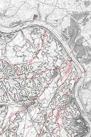
| Description: | This report consists of coal data for Greene County compiled on 7.5-minute topographic quadrangle maps. The maps were drawn at 1:24,000 scale and published at 1:62,500 scale (page size). There are two types of maps in the report. For each of the principal coal seams in a given quadrangle, a map shows the coal crop line (outcrop), areas where the coal is known to be absent because of seam discontinuities, and the extent of all known strip and deep mining up to the time of compilation (1979, 1984). For each quadrangle, a composite map shows all principal and minor coal crop lines, structure contours drawn on a principal coal, and fold axes. In addition to symbol explanations, the maps contain information on published and unpublished data sources and reliability. |
| Download Publication: | Click Here (45 MB) |