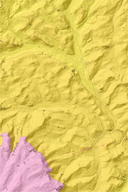
| Open-File Bedrock Geologic Map 13–01.0 |
 | Bedrock geologic map of the Troy quadrangle, Bradford County, PennsylvaniabyBehr, Rose-Anna, and Hand, K. L.2013 |
| Suggested Citation: | Behr, Rose-Anna, and Hand, K. L., 2013, Bedrock geologic map of the Troy quadrangle, Bradford County, Pennsylvania: Pennsylvania Geological Survey, 4th ser., Open-File Report OFBM 13–01.0, 18 p., 1 map, scale 1:24,000. [Available online.] |
| Description: | This report is a multi-page PDF file that includes a 1:24,000-scale, full-color bedrock geologic map and cross section of the Troy 7.5-minute quadrangle in north-central Pennsylvania. The other pages provide an introduction to the geologic setting and previous work, map unit descriptions, a discussion of the structural geology, and a table of structural measurements. The quadrangle is situated in the Glaciated High Plateau and Glaciated Low Plateau physiographic sections, an area of broad open folds. The underlying bedrock units range from Upper Devonian to Mississippian in age (Lock Haven, Catskill, and Huntley Mountain Formations). The data presented on the map were compiled in an ArcGIS geodatabase. The geodatabase, associated shapefiles, and an ArcMap document are included in the download for this report. |
| Download Publication: | Click Here (12 MB) |