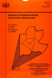
| Map 043 |
 | Greater Pittsburgh region structure contour mapbyWagner, W. R., Heyman, L., Craft, J. L., and others1975 |
| Suggested Citation: | Wagner, W. R., Heyman, L., Craft, J. L., and others, 1975, Greater Pittsburgh region structure contour map: Pennsylvania Geological Survey, 4th ser., Map 43, scale 1:125,000. [Available online.] |
| Description: | This publication consists of a black-and-white, 1:125,000-scale map that shows structure contours and fold axes across a six-county (Allegheny, Armstrong, Beaver, Butler, Washington, and Westmoreland) area in western Pennsylvania. From south to north, breaking the study area roughly into thirds, structure contours and related fold axes are shown for the Pittsburgh coal seam, Upper Freeport coal seam, and the Vanport limestone. Also included on the plate are a brief explanation of the map and a thorough list of references used in its compilation. |
| Download Publication: | Click Here (37 MB) |