| Open-File Surficial Geologic Map 10–06.0 |
 | Surficial geology of the Orson 7.5-minute quadrangle, Susquehanna and Wayne Counties, PennsylvaniabyBraun, D. D.2010 |
| Suggested Citation: | Braun, D. D., 2010, Surficial geology of the Orson 7.5-minute quadrangle, Susquehanna and Wayne Counties, Pennsylvania: Pennsylvania Geological Survey, 4th ser., Open-File Report OFSM 10–06.0, 12 p., 1 map, scale 1:24,000. [Available online.] |
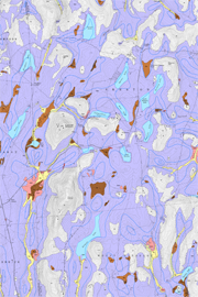
| Description: | This report is a multi-page PDF file that includes a 1:24,000-scale, detailed-reconnaissance, full-color surficial geologic map of the Orson 7.5-minute quadrangle in northeastern Pennsylvania. The other pages provide map unit descriptions and a discussion of mapping techniques and the Quaternary history of this glaciated area. A table shows the relationship between published soil map units and the units on the report map. Another table lists the locations and orientations of glacial striations, which are also shown on the map. The data presented on the surficial geologic map were compiled in an ArcGIS geodatabase. The geodatabase, associated shapefiles, and an ArcMap document are included in the download for this report. |
| Download Publication: | Click Here (7 MB) |