| Water Resource Report 30 |
 | Hydrology of the Martinsburg Formation in Lehigh and Northampton Counties, PennsylvaniabyPoth, C. W.1972 |
| Suggested Citation: | Poth, C. W., 1972, Hydrology of the Martinsburg Formation in Lehigh and Northampton Counties, Pennsylvania: Pennsylvania Geological Survey, 4th ser., Water Resource Report 30, 52 p. [Available online.] |
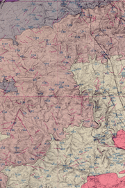
| Description: | This is a report on a groundwater-resource investigation of the Martinsburg Formation (Bushkill, Ramseyburg, and Pen Argyl Members) where it occurs in the northern half of Lehigh and Northampton Counties, eastern Pennsylvania. In this area, the Martinsburg is partly covered by glacial deposits, for which some data is reported. Groundwater in the Martinsburg moves through fractures and bedding-plane openings. Quantitative water well data, such as static water levels, yields, and specific capacities, are examined in the report. The formation’s geology, water-bearing properties, and water quality are discussed. Water quality analyses are included with a focus on water contaminants—chloride, nitrate, and hydrogen sulfide. There is a color map (approx. 1:62,500 scale) of bedrock geologic units, faults, fracture traces, and water wells. There are two small-scale maps on the geologic map plate: one shows ranges of casing depths required for wells, and the other shows variations in water hardness (from soft to very hard). |
| Download Publication: | Click Here (17 MB) |