| Water Resource Report 49 |
 | Groundwater resources of the Gettysburg and Hammer Creek Formations, southeastern PennsylvaniabyWood, C. R.1980 |
| Suggested Citation: | Wood, C. R., 1980, Groundwater resources of the Gettysburg and Hammer Creek Formations, southeastern Pennsylvania: Pennsylvania Geological Survey, 4th ser., Water Resource Report 49, 87 p. [Available online.] |
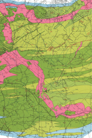
| Description: | The Gettysburg and Hammer Creek Formations, which are the focus of this groundwater report, underlie parts of Adams, York, Cumberland, Dauphin, Lancaster, Lebanon, Berks, and Chester Counties in the Gettysburg-Newark Lowland section of the Piedmont physiographic province. The study area includes diabase dikes and sills, and these units are also addressed in the report. The text focuses on geology, groundwater resources, and water quality. There are many tabulated data, including specific capacities, yields, distribution of water-bearing zones, chemical analyses of groundwater, analyses of trace elements, and a record of wells. Two plates accompany the report. Plate 1 is a 1:50,000-scale geologic map split over three sheets. In addition to the geologic units, this map shows fracture traces and well locations. Plate 2 is a 1:250,000-scale map showing the areal distribution (using color) of the hardness of water (soft, moderately hard, hard, and very hard) in the report area. |
| Download Publication: | Click Here (37 MB) |