| Water Resource Report 42 |
 | Ground-water resources of central and southern York County, PennsylvaniabyLloyd, O. B., Jr., and Growitz, D. J.1977 |
| Suggested Citation: | Lloyd, O. B., Jr., and Growitz, D. J., 1977, Ground-water resources of central and southern York County, Pennsylvania: Pennsylvania Geological Survey, 4th ser., Water Resource Report 42, 93 p. [Available online.] |
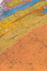
| Description: | This is a detailed report on the geology and groundwater resources of central and southern York County in south-central Pennsylvania, a structurally complex area that is transected by the Martic overthrust block. The report consists of a text and two plates. Text topics include an introduction to the investigation and the area, geology, a summary of water-bearing and water-quality characteristics of the bedrock aquifers, and hydrology and water quality. Eighteen tables provide data on such things as water well statistics, results of field tests, a record of wells, and chemical analyses of groundwater. The plates show maps of the study area and of the southeastern part of adjacent Adams County. Plate 1 is a 1:62,500-scale geologic map with hydrologic data indicated and locations of inventoried wells shown. Plate 2 is a 1:125,000-scale stream map of the county. |
| Download Publication: | Click Here (36 MB) |