| Water Resource Report 14 |
 | Geology and hydrology of the Stockton Formation in southeastern PennsylvaniabyRima, D. R., Meisler, Harold, and Longwill, Stanley1962 |
| Suggested Citation: | Rima, D. R., Meisler, Harold, and Longwill, Stanley, 1962, Geology and hydrology of the Stockton Formation in southeastern Pennsylvania: Pennsylvania Geological Survey, 4th ser., Water Resource Report 14, 111 p. [Available online.] |
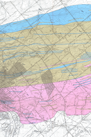
| Description: | This report contains the results of a groundwater investigation in the Late Triassic Stockton Formation. The Stockton Formation underlies two separate, irregularly shaped, elongate areas in Bucks, Chester, and Montgomery Counties in southeastern Pennsylvania. Most of the fieldwork was done in Montgomery County, because that county had the greatest present (ca. 1962) and potential use of the Stockton for groundwater supplies. The report discusses in detail the geology and hydrologic data, and included among eight tables are a record of wells and the results of chemical analyses of groundwater. With respect to the formation, the text focuses on the influence of topography, lithology, and structure upon the occurrence of groundwater, the hydraulic characteristics, and the chemical character of the water. The report has four map plates, including a 1:24,000-scale, geologic map. |
| Download Publication: | Click Here (63 MB) |